How to travel between Palawan’s main stops
Every corridor here is a road transfer we drive — but they are not all on the same landmass, and they do not all join up. Palawan is three travel areas with no road between them, so which area a corridor is in decides whether it connects to the others by road at all. They are grouped that way below. Choose your route for the practical planning points, then ask for a fixed quote based on your pickup, accommodation, group and luggage.
Every mainland stop sits on the same road north
Puerto Princesa is where most trips begin. From there one national highway runs the length of the island to El Nido, with the Sabang, Port Barton and San Vicente turn-offs along the way, so a multi-stop itinerary rarely means doubling back. The map covers that northern stretch. The Calamianes corridor below is on a different island altogether, and the far-south one runs the other way down the mainland, so neither is a line on it.
- Airport hubs — Puerto Princesa (PPS) and El Nido (Lio, ENI)
- Places we drive to — tap a marker for its destination guide
- Roads we drive — hover or tap a line, a marker or a route card to trace it
Coastlines and marker positions are drawn from official Philippine boundary data; the corridors follow the real highway, mapped from OpenStreetMap.
The mainland
All joined by road, so these can be combined along one northbound corridor rather than travelled between separately.
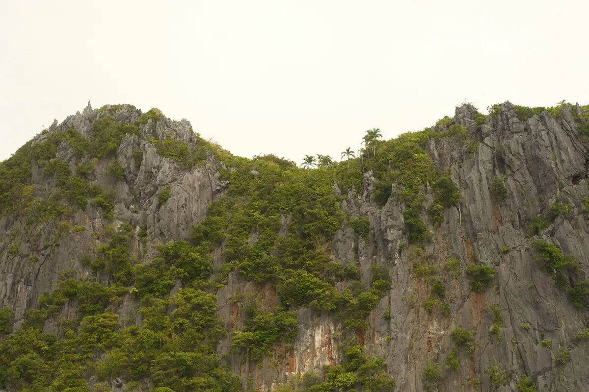 Puerto Princesa to El NidoA private mainland transfer from Palawan’s main airport gateway to Bacuit Bay.Plan this route
 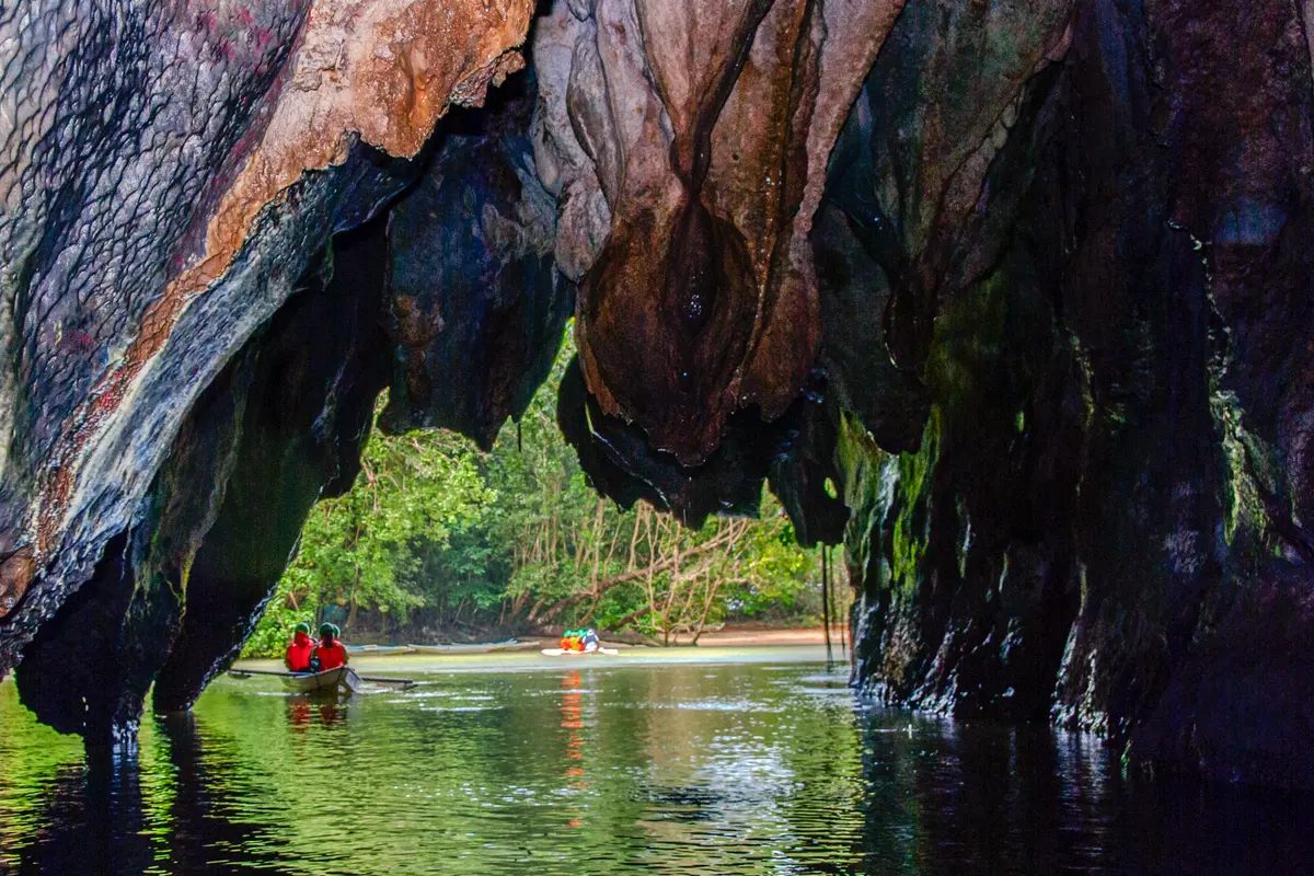 Puerto Princesa to SabangThe west-coast road transfer for an Underground River visit or Sabang stay.Plan this route
 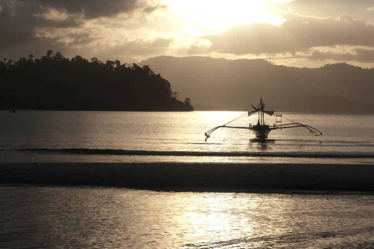 Puerto Princesa to Port BartonA private northbound transfer to the west-coast village on Pagdanan Bay.Plan this route
 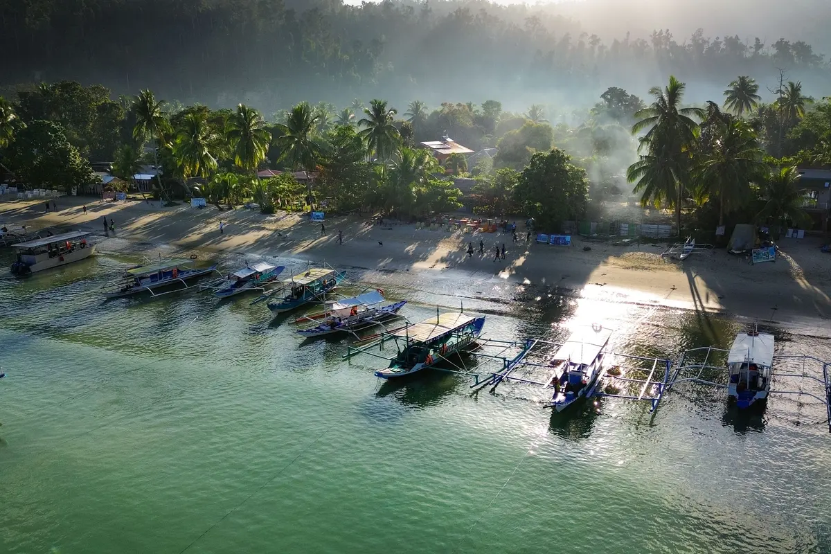 Puerto Princesa to San VicenteA private mainland transfer from Palawan’s main airport gateway to Long Beach and the San Vicente coast.Plan this route
 - El Nido to Port BartonA private mainland connection between two west-coast bases without backtracking.Plan this route
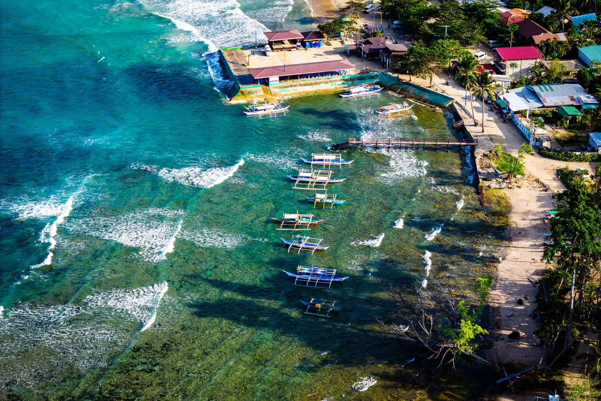 Puerto Princesa to Honda BayThe road leg of a Honda Bay day — a private transfer from your Puerto Princesa hotel to the Sta. Lourdes wharf and back after the boats return.Plan this route
 - El Nido to San VicenteThe mainland road link between El Nido and the Long Beach coast, driven direct instead of doubling back through Puerto Princesa.Plan this route
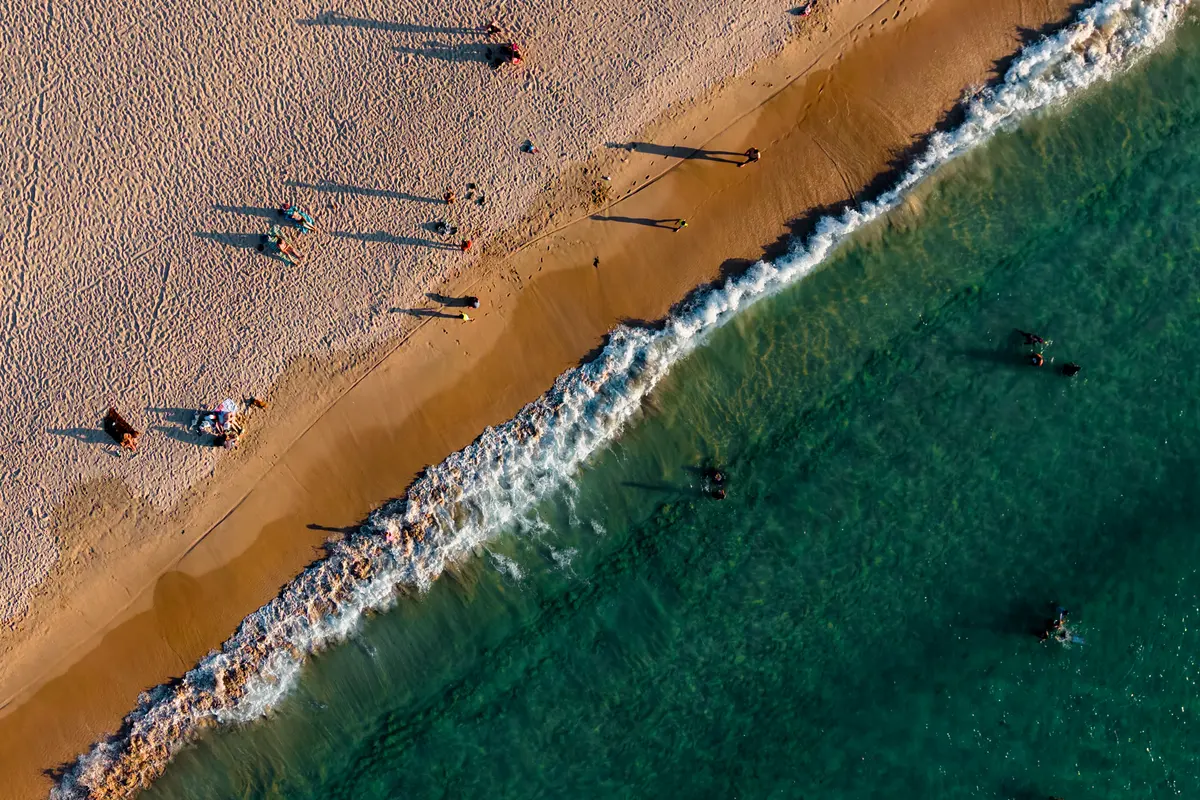 El Nido to Nacpan BeachThe road day that gets you to Nacpan and back — El Nido’s mainland beach, reached by vehicle rather than by joining a Bacuit Bay boat tour.Plan this route
 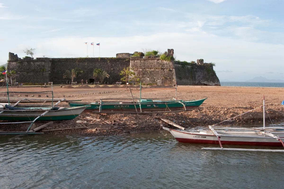 Puerto Princesa to TaytayThe northbound mainland transfer to Palawan’s old capital — and the road leg that meets the boat out to the Taytay Bay island resorts.Plan this route
 - El Nido to Sabang (Underground River)The long southbound run from El Nido down to Sabang for the Underground River — a transfer that has to be timed around a capped park permit.Plan this route
- Taytay to El NidoThe last leg of the northbound mainland highway — Palawan’s old capital to Bacuit Bay, and the road transfer island-resort guests need once they are back ashore.Plan this route
- Port Barton to San VicenteThe one corridor here that never leaves its own municipality — Pagdanan Bay out to Long Beach, and the road leg in from San Vicente Airport.Plan this route
The Calamianes
A separate island group with no road link to mainland Palawan. Reached by air or sea, and a resort stay can add a boat leg after the airport transfer.
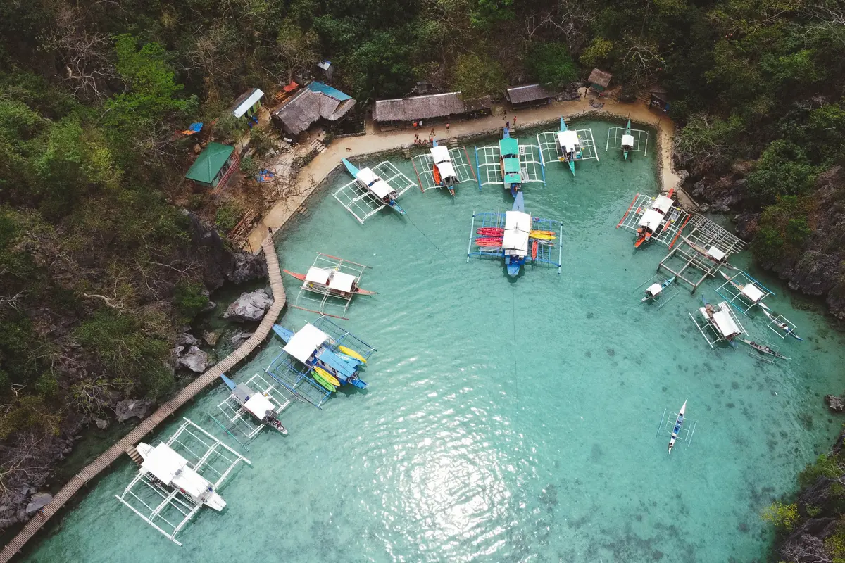
The far south
A long southbound mainland drive to Buliluyan Port in Bataraza, then a sea crossing — in each direction.
Tell us your Palawan trip. We will price it properly.
Free, no obligation, and no payment to ask. If a leg does not make sense on your dates, we will say so rather than sell it to you.